Mapping Samples - Corridors of Opportunity- Charlotte, NC
Using ArcMap Pro to develop environmental and demographic maps for geospatial analysis in support of Corridors of Opportunity programming along the Sugar Creek Road and Albemarle Road Corridors. The program works to invest public improvement and mitigate gaps in service in historically underserved corridors
Mapping, Landscape Design & Public Space Design


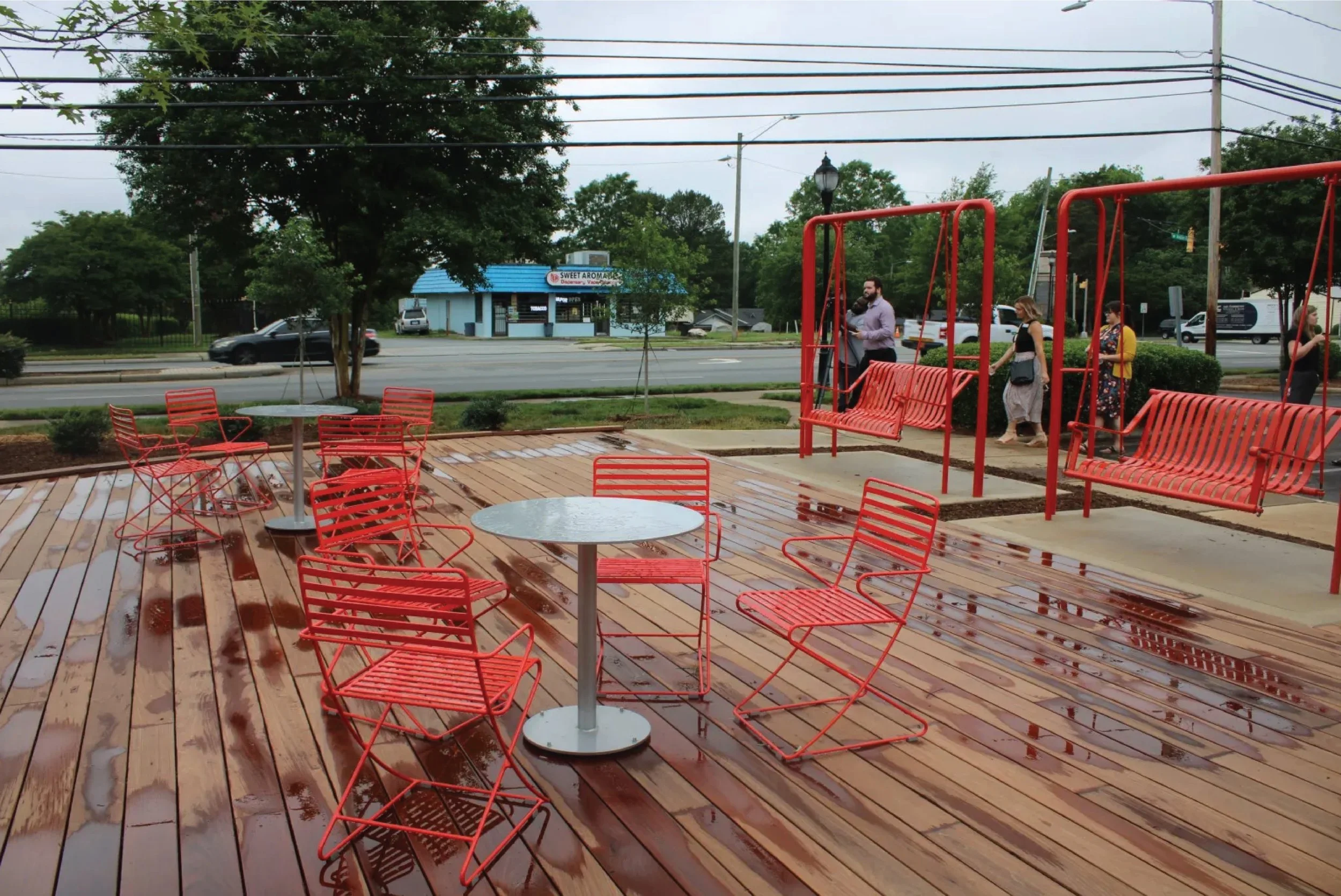
Allegra Westbrooks Regional Library Public Space - Charlotte, NC
Design was developed as part of the City of Charlotte’s Corridors of Opportunity Program. We conducted 6 months of charettes and an additional 6 months of site design, approvals coordination and project planning. Our design leveraged the community’s recollection of an atmosphere along the corridor in prior decades akin to a “front porch”. To achieve this we emphasized gathering space, planting improvements and education.